Introduction
Demolition has officially begun on Cherry Creek West, a 13-acre Denver mixed-use project near Cherry Creek that is repositioning four blocks of older retail and surface parking into a new set of streets, creekside public spaces, housing, offices, and shops—roughly from University Boulevard to Clayton Lane. Led by Denver-based East West Partners in collaboration with Denver-based real estate private equity firm Ascentris, the redevelopment represents one of the most consequential “parking-lot-to-neighborhood” retrofits in the metro area—similar in development pattern (though different in location and price point) to Denver’s recent district-scale reinventions like Union Station and the Dairy Block.
Based on public statements and typical costs for structured-parking, multi-building urban infill in core Denver submarkets, total investment for a project of this scale is commonly estimated in the low-to-mid billions over multiple phases; however, final cost will depend on design, financing, market conditions, and permitting. The current public schedule targets major deliveries by 2029, with the Cherry Creek West redevelopment timeline expected to remain subject to market and entitlement milestones.
External references for context: Denver development approvals and standards are typically administered through Denver Community Planning and Development (CPD), and drainage/flood design around waterways is commonly coordinated with agencies such as the Mile High Flood District.
TL;DR: Cherry Creek West is a 13-acre, multi-phase infill redevelopment now in demolition, with major occupancy targets around 2029 (timing may shift based on market/permitting).
Project Overview: Program, Scale, and What’s Actually Planned
Cherry Creek West is planned as a district-scale redevelopment spanning four city blocks at the western edge of the Cherry Creek shopping area. The master plan’s headline program includes approximately 840 residential units, about 600,000 square feet of Class A office space (high-quality, newer office product with modern systems/amenities), and roughly 100,000 square feet of retail.
Residential and office expectations (practical detail): While the developer has not publicly finalized a unit-by-unit mix in the article source, projects of this type in Cherry Creek typically lean toward mid-rise and high-rise multifamily (rental apartments) with some potential for for-sale condos depending on financing and market demand. For affordability, Denver-area large projects are commonly evaluated against citywide housing goals and any applicable policy requirements; prospective renters should watch for announcements on whether any units will be set aside as income-restricted (i.e., affordable/workforce housing tied to AMI, or Area Median Income).
Jobs and public revenue (estimated context): Multi-year, multi-building construction typically supports hundreds of construction jobs annually (variable by phase). At buildout, the planned office program could support thousands of daily workers on-site depending on tenant density. Property and sales tax impacts can be significant in high-value districts like Cherry Creek, but exact projected revenue depends on assessed values, tenant mix, and future tax policy; readers seeking official numbers should consult city budget/assessment sources and public finance reporting.
Where to verify official details: For zoning/entitlement and public hearing records, start with Denver CPD, and for broader city planning policy context reference Blueprint Denver (the city’s land use and transportation plan).
TL;DR: The planned program is 840 homes + 600k SF Class A office + 100k SF retail across four blocks; housing tenure and affordability specifics should be confirmed through official filings and developer releases.
Demolition Phase: What’s Coming Down and What Stays (for Now)
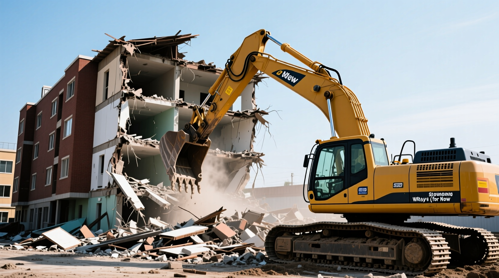
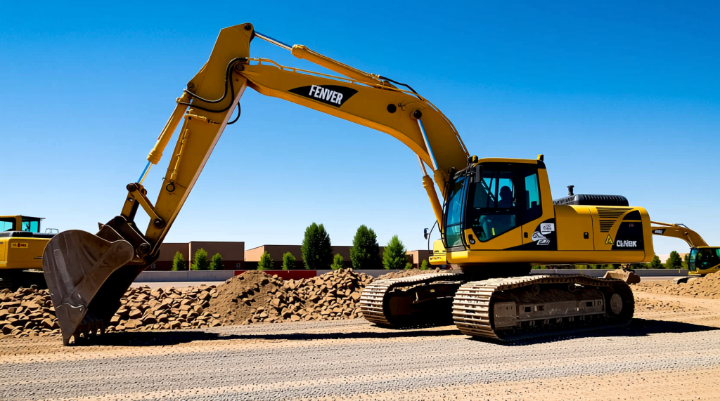
Demolition is underway on multiple legacy buildings on the Cherry Creek West site, including former locations of Elway’s, Brio, The Container Store, and Macy’s Furniture Gallery. Site clearing is expected to wrap in the late-summer window (approximate), after which underground utility work, street reconstruction, and creek-adjacent public realm construction can accelerate.
The former Bed Bath & Beyond building is expected to be retained temporarily as a construction operations hub—an approach often used on large sites to centralize safety, logistics, and contractor coordination.
What nearby neighbors typically notice during demo: daytime noise, dust control activity (water trucks), intermittent lane restrictions for haul trucks, and temporary fencing. If you live or work nearby, check for posted contractor notices and city right-of-way permits.
TL;DR: Several former retail buildings are being demolished now; one large building remains temporarily to support construction logistics.
Design, Buildings, and How the District Should Feel at Street Level
What differentiates successful “mall/parking-lot retrofits” nationally is not just adding buildings, but rebuilding the street network so the place works in small, everyday increments: shorter blocks, clearer walking routes, active ground floors, and public spaces that feel safe at lunch, after work, and on weekends.
Street activation (specific examples): Expect the most active edges to prioritize retail frontage (shopfronts and restaurant patios), transparent glazing, multiple entrances per block, and public seating. A well-executed plan typically spaces “activity generators” (cafes, fitness, neighborhood services) so that streets don’t go dead between major destinations like the Shopping Center and the creek.
Building height and count (transparency note): The article source references “the first three buildings” as part of initial delivery. Exact building heights (e.g., number of stories) and the complete building count across all phases should be confirmed through the project’s official submittals and any adopted planned development documentation filed with the City and County of Denver.
How this compares in Denver: Unlike RiNo (warehouse-to-creative district) or Union Station (transit-anchored redevelopment), Cherry Creek West is more akin to a high-value “district stitching” project—replacing inward-facing retail and parking fields with outward-facing streets and creek access. Nationally, it tracks with a broader wave of greyfield redevelopment (repurposing obsolete retail sites) into housing + office + public realm.
TL;DR: The success metric will be street-level performance—short blocks, frequent storefronts, and public spaces that stay active beyond shopping hours; exact heights should be verified via city filings.
Creek-Side Improvements: Paths, Lighting, Landscape, and Flood Resilience
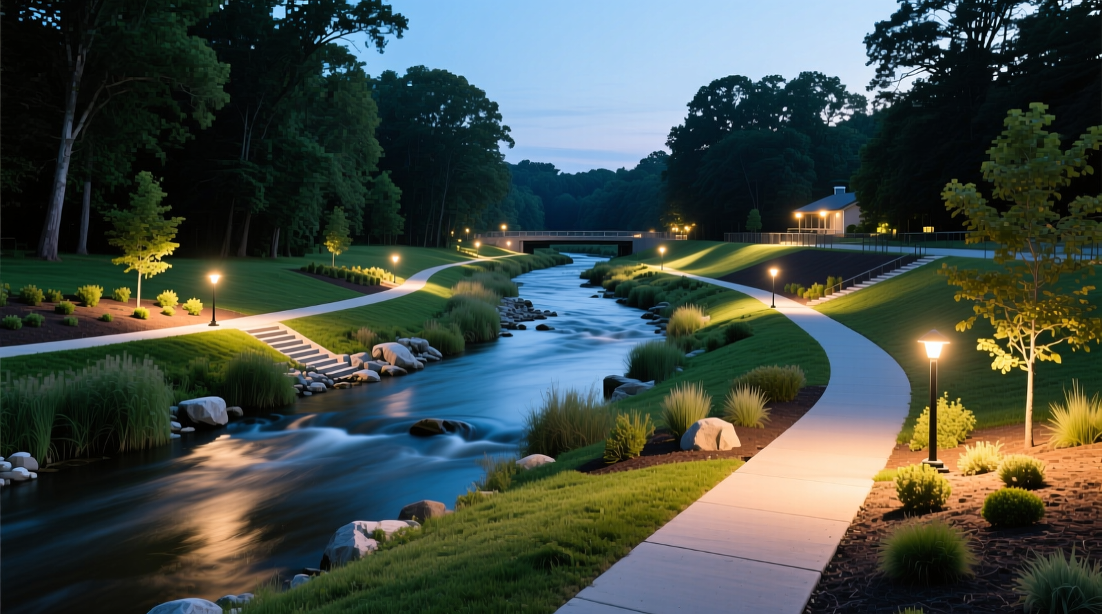
A central promise of Cherry Creek West is reconnecting Cherry Creek’s shopping streets to the Cherry Creek waterway with new access points and public realm upgrades. While final engineered dimensions should be verified in civil drawings, creek-edge projects in Denver typically combine:
- Wider multi-use paths where feasible (commonly 10–14 feet in urban corridors) to reduce bike/ped conflicts
- New pedestrian connections from the retail core to the creek, designed as frequent access points rather than a single “grand stair”
- Native and climate-adapted landscaping (e.g., riparian planting palettes) for shade, habitat value, and reduced irrigation demand
- Stormwater management features such as bioswales, rain gardens, and permeable surfaces to slow and filter runoff before it enters the creek
- Flood mitigation and resilience coordinated with applicable standards—often aligned with regional guidance from entities like the Mile High Flood District
- Pedestrian-scale lighting (lower-height fixtures) to improve nighttime safety while limiting glare to adjacent residences
- Public art and wayfinding to make entrances to the creek feel intentional and easy to find from major corners
Why this matters: Creek-adjacent investments can turn Cherry Creek from a “back edge” into a daily-use amenity—supporting morning runs, lunch breaks for office workers, and quieter evening strolls for residents.
TL;DR: Expect a combination of wider paths, more access points, landscape + stormwater features, and flood-resilient design so the creek reads as a front door—not a back alley.
Pedestrian-Friendly Mobility and Underground Parking (and How Service Access Stays Hidden)
The plan concentrates parking below grade in a large garage system—over 2,000 parking spaces—to keep ground level focused on people rather than parked cars. “Below grade” means underground, which reduces heat-island effect and improves walkability by eliminating curb cuts and surface lots.
How underground parking typically integrates well (what to look for):
- Wayfinding: clear garage entries, intuitive signage, and color/zone coding to reduce circling traffic
- Loading and service docks: consolidated access points on less pedestrian-priority streets so trash, deliveries, and ride-hail don’t clog main retail promenades
- EV charging: a phased plan for electric-vehicle chargers (Level 2 initially, with conduit capacity for expansion) to match adoption growth
- Micromobility parking: designated areas for bikes/scooters to prevent sidewalk clutter near storefronts
Transit and bike connectivity (practical expectations): Cherry Creek already has strong regional access via arterials and bus service; the most tangible improvements often come from safer crossings, better bike connections, and last-mile micromobility accommodations. For official route planning and service changes, reference RTD (Regional Transportation District).
TL;DR: The parking strategy moves 2,000+ spaces underground and should rely on disciplined loading/wayfinding so sidewalks remain the “front-of-house” experience.
Approvals, Oversight, and Public Process (E-E-A-T)
Cherry Creek West has advanced through years of planning and community discussion, and—like other large Denver projects—must align with city policies for land use, mobility, and infrastructure. Official records and frameworks typically live with Denver Community Planning and Development and citywide guidance documents such as Blueprint Denver.
Stakeholder perspectives: East West Partners managing partner Amy Cara has framed the start of demolition as the shift “from vision to reality,” emphasizing that early phases include “the first three buildings” and major public spaces targeted by 2029. From a city-planning lens, large infill projects are typically evaluated for how well they deliver multimodal access, improve public realm continuity, and manage impacts such as traffic and construction disruption.
Community concerns and common mitigations (what’s usually required/expected):
- Traffic and cut-through driving: mitigated through construction traffic management plans, signal timing review, and concentrating garage access away from the most walkable streets
- Height and shadow impacts: often addressed with step-backs, tower spacing, and detailed design review (final massing should be verified in official submittals)
- Affordability: may involve income-restricted units, fee-in-lieu contributions, or partnerships—depending on applicable policy and negotiated agreements
- Environmental and creek impacts: mitigated through stormwater treatment, erosion control during construction, and flood-resilient design standards
TL;DR: The project is operating under Denver’s planning framework; key public concerns typically center on traffic, height, affordability, and creek/environmental protection—with mitigation plans expected through permitting and design review.
First Phase Delivery: What Arrives First and Who It’s For
The first phase focuses on the eastern portion of the site and is planned to deliver the initial set of buildings and public spaces that establish daily foot traffic patterns. Phase One is planned to include approximately 400 residential units, about 200,000 square feet of Class A office space, and roughly 50,000 square feet of retail.
What retail is likely targeted: In a district like Cherry Creek, early leasing typically prioritizes a mix of food-and-beverage (coffee, fast-casual, destination dining), health and wellness (boutique fitness, med-spa/clinic uses where appropriate), and neighborhood services. Tenant mix often blends local concepts with select national brands that can carry weekday lunch traffic and weekend shopping.
Who the space tends to serve:
- Residential: professionals and downsizers seeking walkability to Cherry Creek North, the Shopping Center, and the creek trail system
- Office: firms paying for proximity to amenities and executive housing; Class A users that value parking + walkable lunch options
Pre-leasing timing (what to expect): For projects with 2029 delivery targets, marketing and pre-leasing can begin 12–24 months before first occupancy, though timing shifts with financing and construction progress. Prospective tenants should watch for broker announcements and official developer updates as vertical construction becomes visible.
TL;DR: Phase One brings the initial critical mass—housing, office, and retail—with leasing likely to start 1–2 years before first move-ins, depending on schedule and market conditions.
Cherry Creek West Redevelopment Timeline (Approximate and Subject to Change)
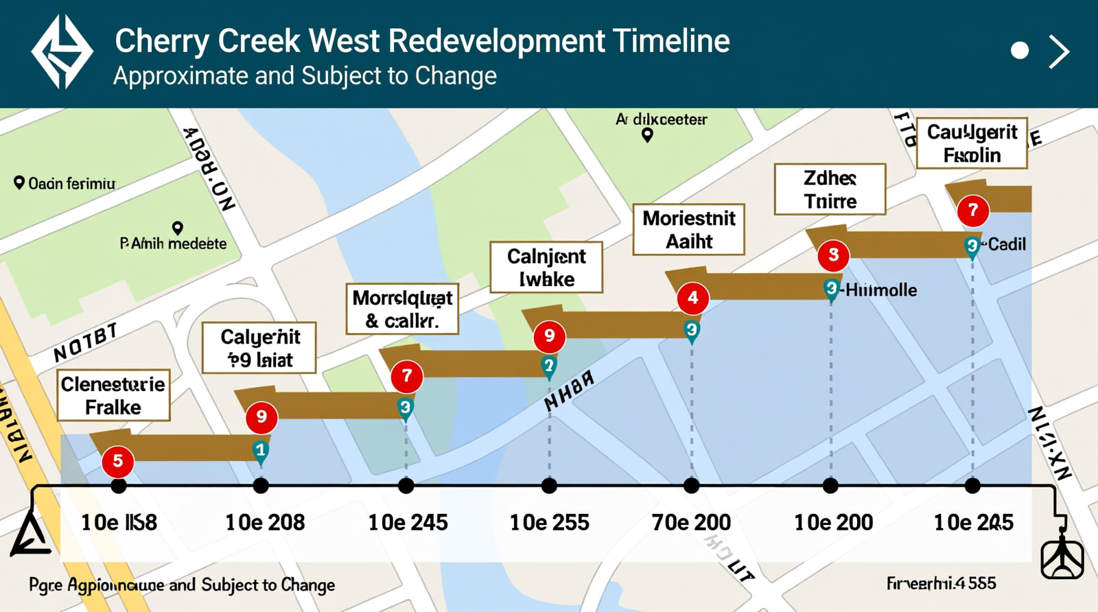
The Cherry Creek West redevelopment timeline is multi-stage and should be viewed as approximate:
- Now: demolition and site clearing of several former retail buildings
- 2024–2027 (approx.): major infrastructure work (utilities, rebuilt streets), underground garage work, and creekside public realm improvements
- By 2029 (target): delivery of the first major occupied buildings and signature public spaces referenced by the developer
Large projects often shift due to utility coordination, entitlement sequencing, lender requirements, and market absorption. Transparent scheduling matters—especially for neighbors and existing businesses planning around disruptive work.
TL;DR: Demo is underway; infrastructure/creek work is a multi-year effort; first major occupancy is targeted around 2029, but schedules can move.
Construction Impacts: What Nearby Residents and Businesses Can Expect
For those living, working, or operating storefronts near the site, the biggest short-term impacts usually come in waves:
- Demolition period: daytime noise, dust control, truck haul routes, intermittent lane closures
- Excavation/garage construction: heavier truck activity, concrete pours, occasional night work if permitted for schedule or traffic reasons
- Utility and street reconstruction: localized access changes, shifting detours, temporary sidewalk closures
How disruption is typically managed: Look for a formal construction management plan (sometimes called a construction traffic control plan) addressing staging areas, haul routes, worker parking, and pedestrian detours. If you rely on a specific driveway or loading zone, anticipate periodic changes and confirm access plans with property management and posted signage.
TL;DR: Expect noise and truck activity in demolition/excavation, then shifting detours during utility and street work; impacts usually come in phases rather than continuously.
Impact on Cherry Creek North and Cherry Creek Shopping Center
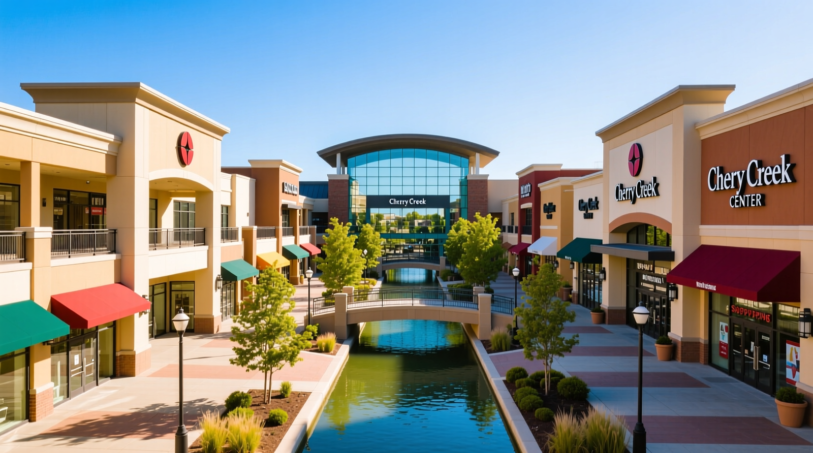
Cherry Creek West sits at a hinge point between Cherry Creek North (street-based retail and restaurants) and the Cherry Creek Shopping Center (regional retail destination). In the near term, construction can be disruptive—especially if detours affect weekend shopping patterns. In the long term, the redevelopment is designed to increase the area’s “daily base” of residents and workers, which typically benefits:
- Weekday lunch and after-work dining due to added office population
- Neighborhood services (fitness, personal care, convenience retail) supported by added residents
- Walking connections that encourage visitors to circulate between the Shopping Center, North, and the creek rather than driving short distances
Compared with retail-only environments, adding housing and office tends to smooth out peaks: fewer “dead zones” on weekday mornings and more consistent foot traffic outside holiday shopping surges.
TL;DR: Short-term: possible access and traffic disruption. Long-term: more residents/workers and better connections can raise steady foot traffic for Cherry Creek North and the Shopping Center.
Sustainability, ESG, and Infrastructure: What to Watch For
Many large, contemporary mixed-use projects incorporate ESG (Environmental, Social, and Governance) commitments and measurable building performance goals. While specific certifications have not been confirmed in the provided text, items to watch for in official announcements and permit documents include:
- LEED (Leadership in Energy and Environmental Design) and/or WELL certification targets
- High-performance building envelopes, efficient HVAC, and smart controls to reduce energy use intensity
- Construction waste diversion and low-carbon material strategies where feasible
- Stormwater quality treatment and on-site detention to protect Cherry Creek water quality
- EV-ready infrastructure in garages and tenant parking allocations
- Heat mitigation through tree canopy, shade structures, and reduced surface parking
For readers looking for credible standards and definitions, see the U.S. Green Building Council (USGBC) LEED program and the International WELL Building Institute (WELL).
TL;DR: Watch for LEED/WELL targets, stormwater/flood-resilient creek design, and EV-ready garage infrastructure as key sustainability indicators.
Conclusion

With demolition underway, Cherry Creek West is shifting into active construction on a four-block, 13-acre redevelopment that adds new homes, Class A offices, retail, and creekside public spaces—targeting major deliveries around 2029 (subject to market and permitting) and aiming to reconnect the Cherry Creek shopping district to the waterway with a more walkable street network.
TL;DR: A major Cherry Creek infill project is now physically underway, with the biggest public-realm and occupancy milestones targeted near 2029.
FAQ
Q: What is the Cherry Creek West redevelopment timeline, and is 2029 guaranteed?
A: The project is in demolition now, with multi-year infrastructure/creekside work expected through roughly 2027 (approximate) and major first occupancies targeted around 2029. The schedule is not guaranteed; large mixed-use projects can shift due to permitting, utility coordination, financing, and market conditions.
Q: How many buildings and how tall will Cherry Creek West be?
A: Public statements referenced “the first three buildings” in an early delivery, but exact total building count and final heights should be confirmed through City of Denver planning filings and approved design documents. Checking Denver CPD records is the best way to verify massing and any zoning or planned development controls.
Q: What should nearby residents and businesses expect during construction?
A: Expect phased impacts: demolition noise/dust and haul trucks first, followed by heavier activity during excavation and underground garage work, then periodic detours and access changes during utilities and street reconstruction. Look for construction traffic control plans, posted detour signage, and periodic project updates for the most current staging details.
Q: What kinds of retail and tenants are likely in Cherry Creek West?
A: Early phases typically target food-and-beverage (coffee, restaurants), health/wellness, and neighborhood services, often mixing strong local operators with select national brands. Final tenant lists depend on leasing strategy and market timing, so watch for broker and developer leasing announcements as buildings near completion.
Q: How will Cherry Creek West improve access to Cherry Creek and support flood resilience?
A: Plans generally emphasize more creek access points, upgraded paths, landscape enhancements, pedestrian-scale lighting, and stormwater/flood-resilient design. Final engineering details should align with city standards and may reference regional flood guidance such as the Mile High Flood District, especially for drainage, detention, and creek-edge protection.